Floodplain Info
Learn More
 The Official Web Site of the State of South Carolina
Sign up for Everbridge, the Town’s Emergency Notification System, to receive emergency texts and emails, and the Town's Monthly Newsletter to stay up to date on all of Town's meetings, projects and special events.
The Town offers a variety of tools and maps, including historic maps, to assist the homeowner in understanding the link between flood plain management and external factors such as shoreline and sea level changes. You may also view our Mapping Services page for additional interactive and static maps. Local staff are ready to assist you with any questions.

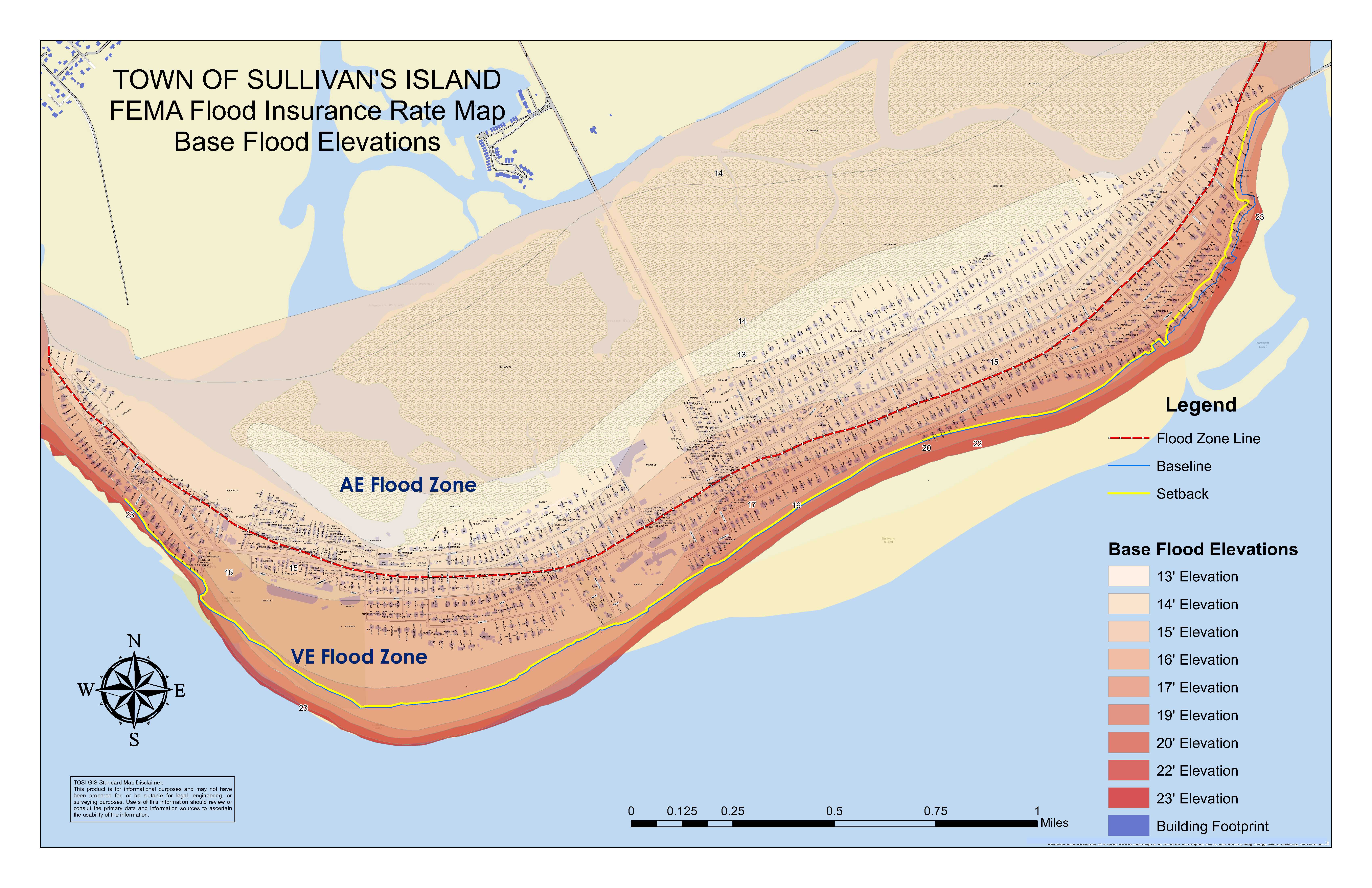
This map will help you determine your current Base Flood Elevation. These maps were effective January 29, 2021. For more information regarding Flood Zone Designation please click here.
 Prior Flood Elevation Map
This map is for historical purposes only and will help you determine your flood zone. To determine your current Base Flood Elevation please click here.

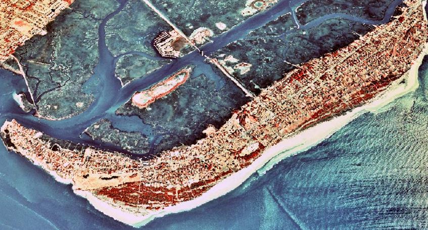
This document contains aerial views of Sullivan's Island with layers of illustrations that simulate different inundations of storm surge based on the Saffir-Simpson Hurricane Scale.
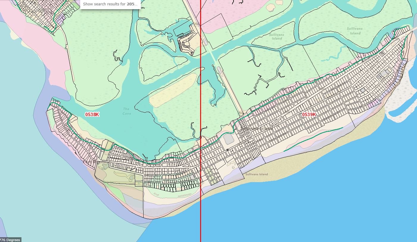
Know Your Zone Map
This map helps you determine your evacuation zone. For more information on planning your evacuation route, please visit our Emergency Preparedness page.
The Town offers the following links to a number of county, state and federal agencies to further assist you with your flood plain management questions
Charleston County Resources
South Carolina State Resources
Federal Resources
Shoreline & Sea Level Information
Climate Tools
Additional Documentation