Floodplain Info
Learn More
 The Official Web Site of the State of South Carolina
Sign up for Everbridge, the Town’s Emergency Notification System, to receive emergency texts and emails, and the Town's Monthly Newsletter to stay up to date on all of Town's meetings, projects and special events.
Stormwater Road Closure map between Station 27 and Station 32.
Flood hazard areas are areas located within the 100-year floodplain, which are defined as any area that has a one (1%) percent chance of flooding in any given year. Smaller scale floods (50-year and 10-year) have a greater chance of occurring in any year and can pose a significant flood hazard to people and property close to the ocean, sound, drainage channels and streams. Floods larger than the 100-year event can also occur. You should become informed as to the flood hazard potential for your property. Click on the map below to determine your base flood elevation. To determine your properties flood zone, you may search your address for free on the Charleston County website.
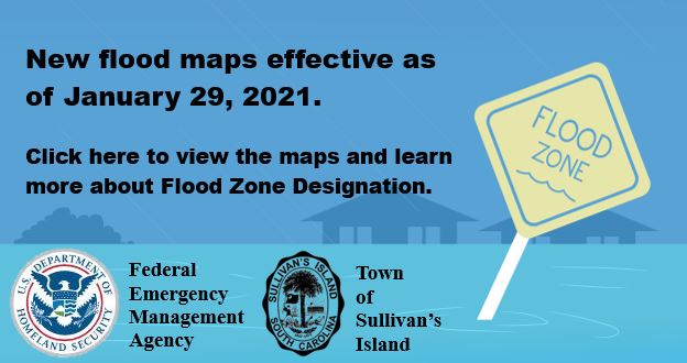
The new Flood Insurance Rate Map (FIRM) became effective January 29, 2021. Most zones and flood height requirements on Sullivan's Island were reduced when these maps took effect. This resulted in lower insurance premiums. Town Staff advises residents to secure a copy of your Elevation Certificate. If you do not have one, it is advisable to contact a surveyor to develop one and send it to the Sullivan's Island Building Department as well as your flood insurance provider. The Town may already have a copy of your Elevation Certificate on file. If you would like to inquire about your Elevation Certificate please contact Jessi Gress at 843-883-5727 or jgress@sullivansisland.sc.gov.
Moderate to Low-Risk Areas
High-Risk Areas
High Risk - Coastal Areas
Undetermined Risk Areas