The Official Web Site of the State of South Carolina

Click Here to review our Stormwater Master Plan Page.

Join our Arbor Day Celebration! Click Here for More Information!


Council has recently tasked Thomas and Hutton with exploring additional recreation concepts for the Stith Park Master Plan which could further enhance the Park experience.  To gather additional information, the engineer has been asked to delay the presentation scheduled for April 16, 2024 to a later to be determined date. Appropriate notification will be provided for the rescheduled presentation date.


Tropical Storm Isaias- Message #3

Mon, 08/03/2020

Tropical Storm Isaias

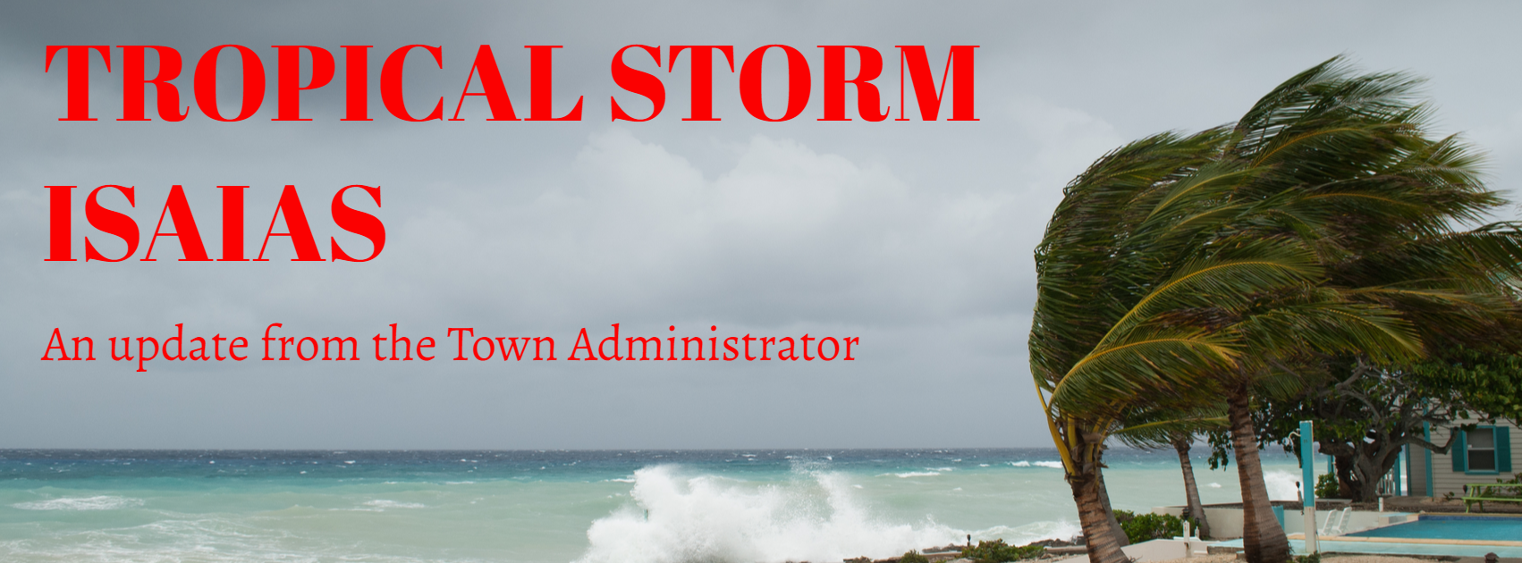
Good afternoon Island Residents,

Following our 1230 hours conference call with Charleston County Emergency Management Department, National Weather Service Charleston and other federal, state, county and municipal partners, I have the following information to pass along to you in response to T/S Isaias:

  • Storm Status
    • The storm is currently located approximately 130 miles south of Sullivan’s Island tracking N at 13mph; a slight NE adjustment is anticipated later today
    • Currently maximum sustained winds are 70mph with central pressure at 998MB/29.47 inches
    • The storm is forecast to make landfall sometime this evening as a category 1 hurricane between Georgetown and the North Carolina state line
    • Charleston County is under a tropical storm warning that extends from Altamaha Sound Georgia to the South Santee River
    • Wind speeds will begin to increase in the early afternoon today and will peak at speeds up to 70 mph around 2100 hours tonight
    • Charleston County is under a storm surge warning that extends from Edisto Beach to Cape Fear North Carolina; storm surge for Sullivan’s Island is expected to be 2 to 4 feet
    • Rainfall in Charleston County can reach as high as 6 inches with two to four inches expected
    • Periods of heavy rainfall and higher winds will occur during the time of high tide this evening
  • What to Expect This Afternoon and Evening
    • Tropical storm winds will increase to as much as 70mph late evening/early morning
    • Rain and tidal surge will increase throughout the evening; flood slack water is at 2054 hours
    • Trees and/or limbs may fall during the course of the event
    • Shallow flooding is anticipated in all low lying areas of the Island
    • Standing rain water is anticipated as rainfall will coincide with flood slack water
    • Potential to lose power
    • Waves and rip current will increase
    • Remote possibility of tornadoes
  • What the Town is Doing Now and Through the Event
    • Town Hall continues to operate at OPCON 2; non-essential staff members were dismissed at 1300 hours Monday and will return at 1000 hours Tuesday
    • The Municipal Emergency Operations Center will not be manned for this event
    • Storm preparations were completed Saturday; additional staffing has been added for the evening and first responders are standing by at the ready to respond to any situation during the night
    • Staff will be out early Tuesday morning to assess any damage by windshield survey. Please email any damage assessment you might have to rrobinson@sullivansisland.sc.gov; or, jhenderson@sullivansisland.sc.gov   
  • If You Need Assistance Tonight
    • For any emergency always dial 9-1-1
    • For Police or Fire non-emergency assistance dial 843-743-7200
    • Report power outages to Dominion Energy 888-333-4465; PLEASE DO NOT DIAL 9-1-1 TO REPORT A POWER OUTAGE. Note guidance above regarding downed power lines
  • Miscellaneous Information
    • Household garbage is now pushed back to Wednesday; yard debris collection is not pushed back to Thursday
    • For hourly updates on storm conditions visit www.weather.Gov/chs/ (National Weather Service Charleston) or follow your local media outlets
    • After the event on Tuesday remember to wear your face covering – COVID19 is still with us

To read the National Hurricane Center update from August 3, 2020 please click here. 

Hopefully everything you need is addressed above but do not hesitate to respond to this message if you have any questions.

Regards,
Andy Benke
Town Administrator