Floodplain Info
Learn More
 The Official Web Site of the State of South Carolina
Sign up for Everbridge, the Town’s Emergency Notification System, to receive emergency texts and emails, and the Town's Monthly Newsletter to stay up to date on all of Town's meetings, projects and special events.
Stormwater Road Closure map between Station 27 and Station 32.
Good morning Island residents,
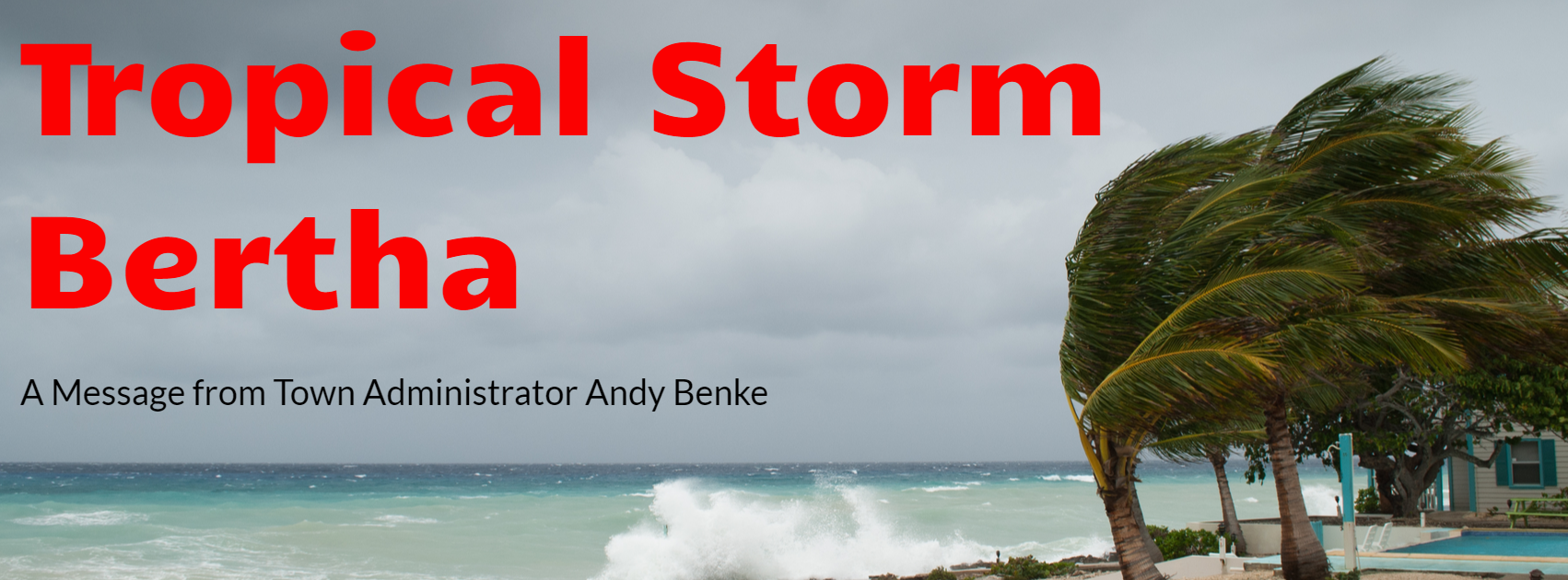
In the event you missed the early morning news today, the National Hurricane Center has announced that the area of disturbed weather it had been tracking over the past 36 hours quickly became better organized. Circulation has become defined and the center has reformed beneath the area of deep convection just offshore of South Carolina. Offshore buoys indicate that the system is producing tropical storm force winds. The system has been named Tropical Storm Bertha.
The National Hurricane Center Miami has issued a Tropical Storm Warning for the area from Edisto Beach to the South Santee River (northern portion of Charleston County). A Tropical Storm Warning means that tropical storm conditions are expected somewhere within the warning area. Sullivan’s Island could experience maximum sustained winds between 34 to 40 mph with higher gusts before landfall. At this time Bertha is expected to produce heavy rainfall across eastern and central South Carolina. In some areas the rainfall may produce dangerous flash flooding. For Sullivan’s Island, high tide today is 12:08pm so you may expect standing water and full ditches on some streets. Because of the proximity to the coast, Bertha is not expected to intensify. Landfall is anticipated north of Sullivan’s Island today around 2pm; stronger winds will be experienced in the northwest quadrant of the storm.
For Island residents here a few suggestions:
The 2020 Atlantic hurricane season is predicted to be more active than usual according to an outlook forecast by NOAA’s Climate Prediction Center, a division of the National Weather Service. The outlook calls for 13 to 19 named storms, 6 to 10 hurricanes and 3 to 6 major hurricanes (Category 3 or higher). NOW IS A VERY GOOD TIME TO ME MAKING YOUR FAMILY HURRICANE PLAN. The Town website offers hurricane preparation and planning information.
In the event conditions change significantly in the next 6 hours a subsequent message will be issued.
Regards,
Andy Benke
Town Administrator