Floodplain Info
Learn More
 The Official Web Site of the State of South Carolina
Sign up for Everbridge, the Town’s Emergency Notification System, to receive emergency texts and emails, and the Town's Monthly Newsletter to stay up to date on all of Town's meetings, projects and special events.
Stormwater Road Closure map between Station 27 and Station 32.
Trust everyone is enjoying the final weeks of summer before school resumes for the fall semester.
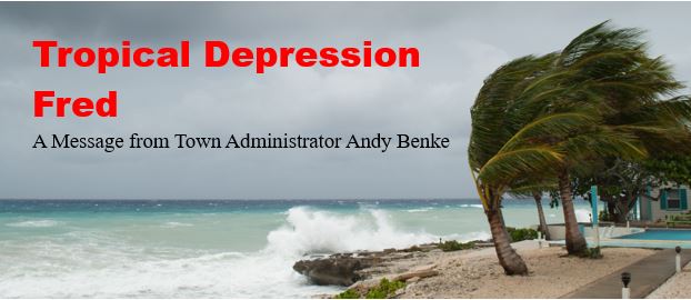
While there is no imminent weather threat to the Island at this time, this is probably a good opportunity to remind everyone that we are moving into the most active part of the hurricane season. The National Hurricane Center revised its 2021 predictions on August 4 to indicate an even busier season than forecast in May. The most recent forecast indicates 15 to 21 named storms and 7 to 10 hurricanes with 3 to 5 of them considered major hurricanes.
Just this week activity in the Atlantic has two systems to follow (see attached NHC data as of 8am today):
While this is old and repetitive, now is the time to have your family hurricane plan in place. For guidelines and suggestions, you may visit the Town website www.sullivansisland.sc.gov or the Charleston County website www.charlestoncounty.org. Additionally, you might consider:
Finally, if you need assistance from Police or Fire, please utilize Charleston County Consolidated Dispatch at the following numbers:
Nice weather ahead for Friday, Saturday and Sunday – enjoy!!!
Regards,
Andy Benke
Town Administrator
abenke@sullivansisland.sc.gov