Floodplain Info
Learn More
 The Official Web Site of the State of South Carolina
Sign up for Everbridge, the Town’s Emergency Notification System, to receive emergency texts and emails, and the Town's Monthly Newsletter to stay up to date on all of Town's meetings, projects and special events.
The beach access path at Station 32 is closed due to storm impacts until further notice.
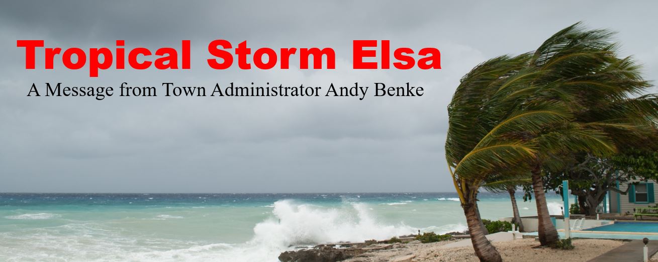
At 8am this morning the National Hurricane Center Miami reported Tropical Storm Elsa is approximately 35 miles west of Cedar Key, Florida or 287 miles southwest of Sullivan’s Island. The storm will continue to move in a general northerly direction through this afternoon at 14 mph. Landfall is expected late this morning along the north Florida Gulf coast. A turn to the north–northeast is expected later this afternoon or early evening.
Storm characteristics reported at 8am:
The National Weather Service forecast for Sullivan’s Island remains much the same as yesterday with rain and wind as our primary concern. Forecasters are slightly more optimistic that our wind will be closer to tropical depression speeds rather than tropical storm speeds. As noted yesterday, at this time the forecast indicates the Lowcountry of South Carolina is expected to receive between 2 to 4 inches of rain driven by tropical depression winds with potential for tropical storm wind speeds. For Thursday 7-8-21, the tide chart predicts a 4.4 foot tide on flood slack water at 7:40am and a 5.7 foot tide on flood slack water at 8:03pm. With the heavy rain, shallow flooding and standing water on the roads are expected. Winds during a tropical depression can be sustained at 38 mph while wind gusts during a tropical storm can be sustained at 73 mph.
Repeating from yesterday important information and advice for residents:
Stay safe this evening and call the Town if you need assistance.
Regards,
Andy Benke
Town Administrator
abenke@sullivansisland.sc.gov