Floodplain Info
Learn More
 The Official Web Site of the State of South Carolina
Sign up for Everbridge, the Town’s Emergency Notification System, to receive emergency texts and emails, and the Town's Monthly Newsletter to stay up to date on all of Town's meetings, projects and special events.
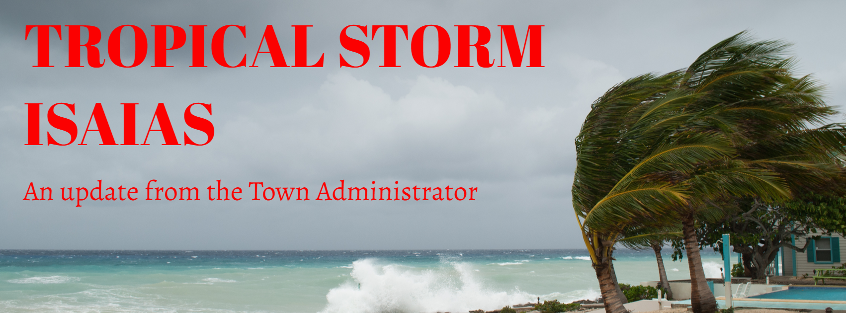
Good afternoon Island Residents,
This is our final message in response to Tropical Storm Isaias.
Windshield surveys were completed this morning finding negligible damage. No damage to Town property, buildings or assets was identified. The tide was rather high prior to Tuesday nights flood slack water. There did not appear to be any saltwater inundation and it does not appear that the saltwater breached the primary seaward dune. The tide combined with the strong rip current and large waves did result in the loss of a modest volume of beach sand. The rainwater seems to quickly soaked into the dry ground in most locations. All roads are passable; however, some right of way parking areas are muddy. There were no reports of power outage on the Island.
Yesterday’s message had a small Scriveners’ error that is misleading with regard to yard debris. Please note that household carts will be collected Wednesday and yard debris will be collected on Thursday.
The Town returned to COVID-19 pandemic operations today at 10am.
Standing down until the next storm event.
Regards,
Andy Benke
Town Administrator